
Happy Saturday! It was a beautiful day. Highs topped off in the 50s and near 60 degrees, but that’ll feel cool compared to some of the weather we’re tracking for this week.
First, it will be a cold one overnight! Lows will drop to the low to mid 30s away from the coastline, and near the coast will drop to the upper 30s and low 40s. We’ll all have clear skies, and the wind will diminish as well.
Tomorrow will be another nice day! It won’t be as breezy, and highs will top off in the mid to upper 50s. It’ll be a little cooler by the coast, though. Skies start bright but clouds will increase as the day progresses.
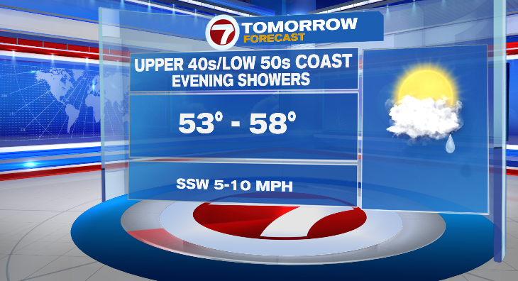
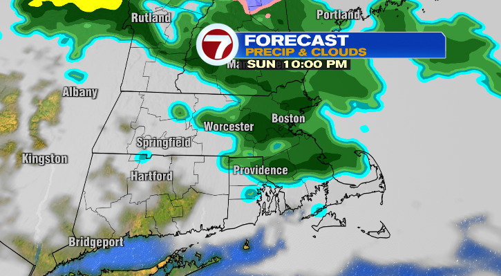
In the evening and night there’s a chance for a few light, spotty showers.
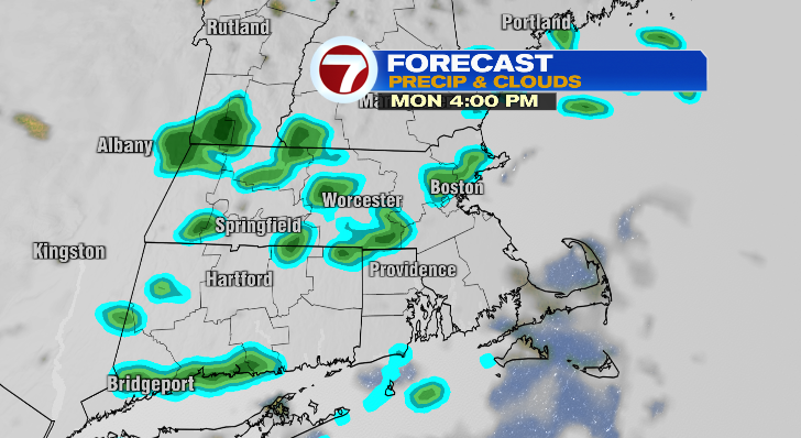
Monday morning will kick off in the low 40s but in the afternoon we’ll top off pretty close to 70 degrees. Again, the coastline will be cooler. It’ll be noticeably breezy, and skies are looking mostly cloudy. There’s a chance for a few more light, spotty showers in the late afternoon and evening.
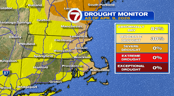
Unfortunately it won’t amount to enough to really make much of a dent in our drought.
Tuesday starts off in the 50s but we make it all the way into the upper 70s in the afternoon! Skies look partly sunny with a chance for an isolated shower in the evening. Wednesday will be even warmer — I wouldn’t be shocked if some of us touch on 80 degrees! We start off in the upper 50s with most of us rising into the upper 70s. Again, like most days this week, the coastline will be a bit cooler. Wednesday we have another chance for a spot evening shower.
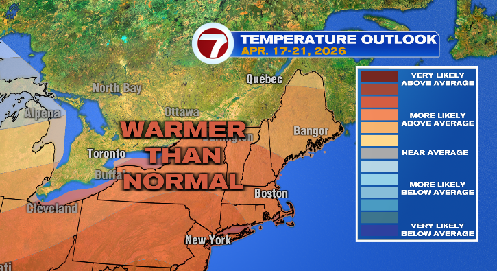
Thursday we’ll reach the mid to upper 70s with mostly cloudy skies. Friday and Saturday we get back down to the low 70s. But overall, warmer weather ahead!
About the Author
Discover more from USA NEWS
Subscribe to get the latest posts sent to your email.


