
We’ve made it to the weekend, and while it’s not the prettiest start, there’s a lot to look forward to in this forecast.
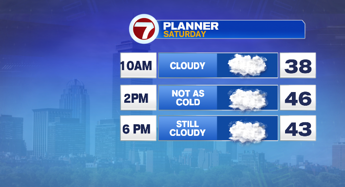
Let’s start with this (Saturday) morning. It’s murky. Clouds hang low, and there’s some patchy fog out there as well thanks to an influx of moisture in the atmosphere.
Temperatures are in the mid 30s. While the temps will change (mid to upper 40s in the afternoon), the clouds won’t budge much, and the day will stay gray. That said it also stays largely dry, so if you’re, let’s say, heading to the Garden to watch the Bs take on the Capitals, you won’t get rained on on the way there!
That said, if you have late-night plans keeping you out past midnight, you’ll want the umbrella. Our next storm travels across the center of the country, arriving in Southern New England late tonight.
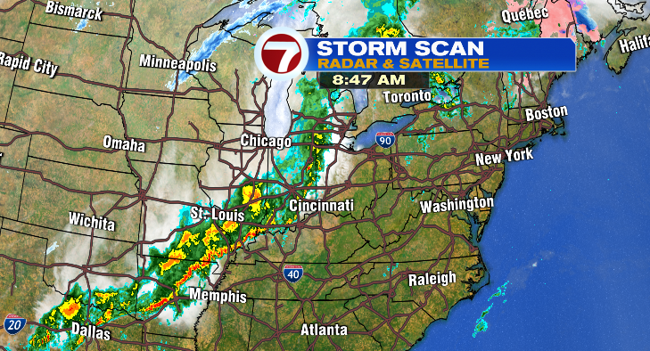
While that storm is a bit of a beast from the Ohio Valley to the South Central states, it’ll lose a lot of steam by the time it gets here. We’ll see a few showers (and perhaps hear a rumble of thunder) between roughly midnight and 4 AM or so. Lows will not dip much, with most of us only dropping into the 40s.
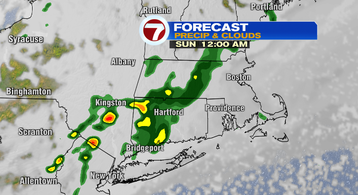
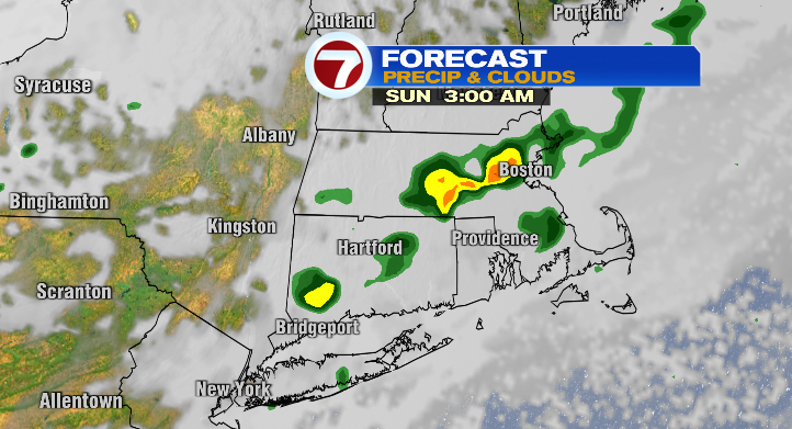
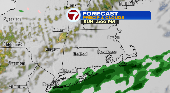
The clouds aren’t gone (yet) Sunday morning– they’ll stick around through the morning, with renewed showers possible for the South Coast, Cape & Islands late Sunday morning.
Clouds finally start to break in the afternoon, and with the dominant wind flow out of the southwest driving warmer air into the region, highs will jump into the mid and upper 50s. Between that and some late-day sunshine, it’ll be a nice enough end to the weekend!

But that is just the beginning of our big-time warm-up! Monday, sunshine takes over and so do temperatures in the low 60s as warm air continues to pile into southern New England! Tuesday, the sun and warmth continue, and highs jump into the mid 60s! If you happen to take an extra-long lunchbreak to stroll in the sunshine, I definitely can’t blame you!
Wednesday, while not as enticing as Monday/Tuesday, isn’t too bad either. We’re keeping an eye on a back-door cold front that could push temperatures down a bit, but right now it looks like we’ll be in the mid 50s with increasing clouds and a stray shower or two. Not a washout, just a few drips and drops.
That said, steadier rain (and some possible wintry mixing) is more likely on Thursday with our next storm. Something to watch for later in the week!
About the Author
Discover more from USA NEWS
Subscribe to get the latest posts sent to your email.


