
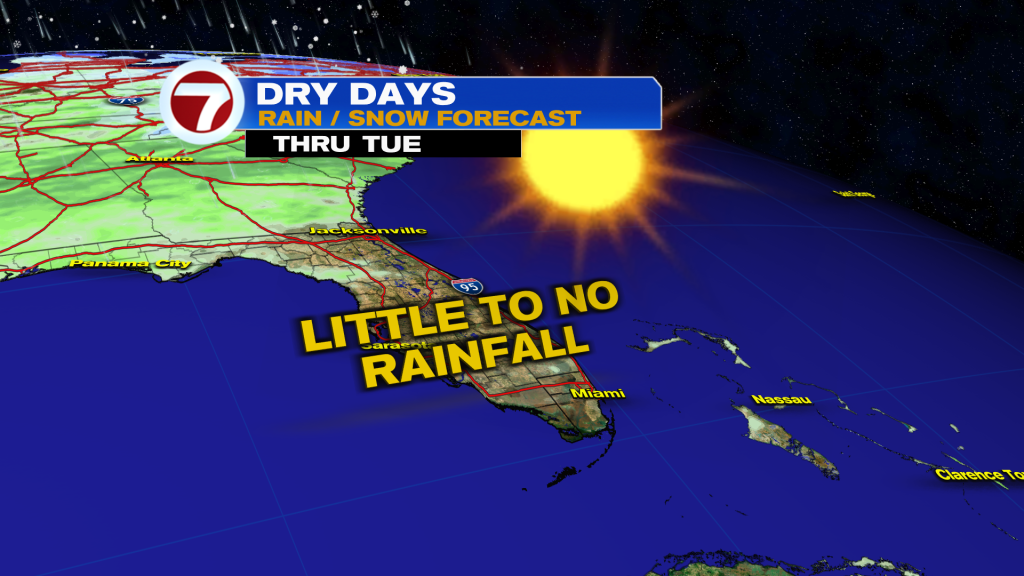
The dry, warm and quiet weather pattern will continue throughout the rest of this week following the front that came through on Monday, which only brought brief rain to parts of Broward the the Florida Keys.
Meanwhile, Miami got no rainfall and is in a very significant rainfall deficit with only one day so far this month measuring rain.
Another front is on the way — this time late Sunday — and unfortunately this front doesn’t seem to contain much moisture with it either. Most of that moisture will fall apart with all the activity happening well to our north and as a result only a passing shower will be possible.
Before this weekend, the rest of the week will be very similar as it’s been with mild mornings in the upper 60s and warming highs in the 80s. That will be paired with generally sunny skies, likely dry conditions and a lessening onshore breeze.
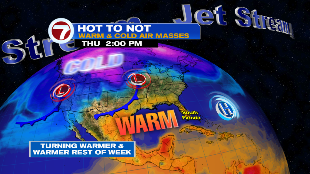
Highs on Thursday and Friday will be in the low to mid 80s, then they escalate some more over the weekend.
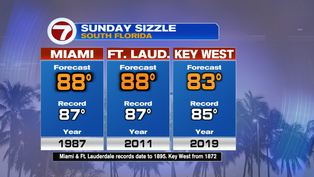
Winds will eventually veer out of the southwest by Sunday, driving in widespread highs in the upper 80s. In fact, our current forecast high of 88F on Sunday for both Miami and Fort Lauderdale would break the current record of 87F in both cities.
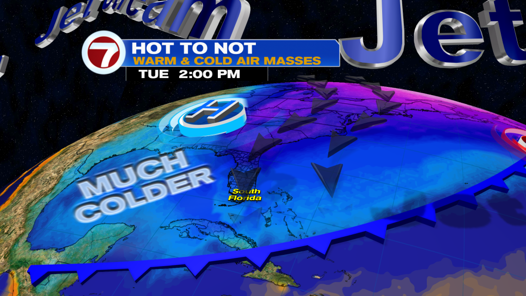
Temperatures will plummet once the cold front comes through, however, unleashing a chilly change for early next week. The cold is currently timed out to peak on Tuesday, which is when lows are trending to be in the 40s and highs only in the 60s. It’s another reminder that winter isn’t over yet!
About the Author
Discover more from USA NEWS
Subscribe to get the latest posts sent to your email.


