
We had such a beautiful start to our weekend with Saturday’s sunshine and highs in the 40s and 50s! As for today? While temperatures won’t be too far off (mid to upper 40s this afternoon), the rest of the forecast is a different story.
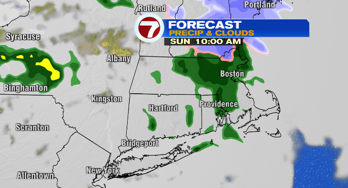
We’ll be stuck in the clouds today with rain on-and-off as our next storm moves in.
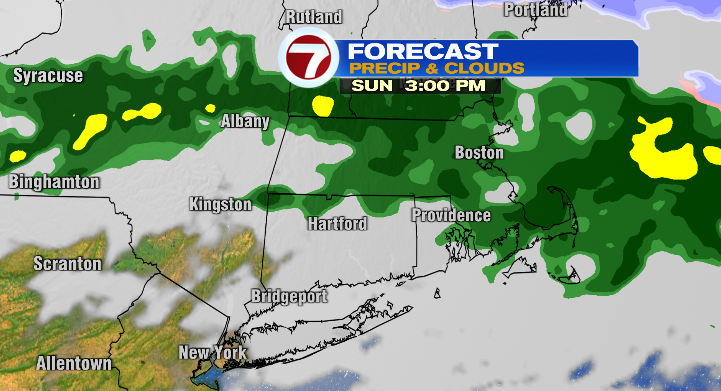
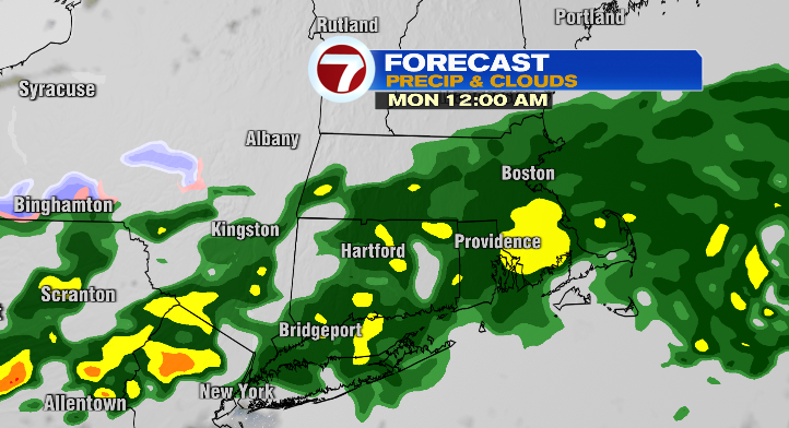
Between showers and some heavy rain today, and the more widespread round of rain we’ll see overnight into Monday morning, we’re looking at 0.5-1.5″ or so, location-dependent. The heaviest rainfall looks like it’ll be along and south of the Mass Pike.
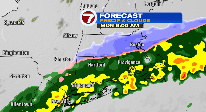
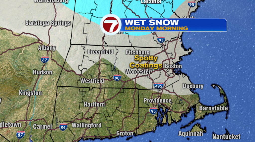
This storm ends will a little “slice” of snow early Monday morning. This could lead to some spotty coatings, even an isolated inch, especially for areas inside of 495. By no means will this be a big snow event. More so, it’ll be a nuisance for the morning commute, and could lead to a slow drive to work, or wherever you need to go early to mid-morning on Monday.
However, we’re not totally done with the snowflakes at that point. While the storm will be moving away to the east, we could still see a snow squall or two Monday afternoon and evening. Any squalls will lead to a lot of discomfort on the roads with slippery conditions and low visibility. Be mindful of that if you have to head out during the second half of the day Monday!
Monday will also have a much cooler feel, with highs only in the mid to upper 30s.

Tuesday is a much calmer day. We’ll be mostly sunny with highs in the low to mid 40s– not too bad for this time of year, if just a little cool.
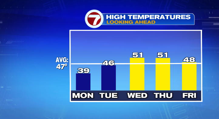
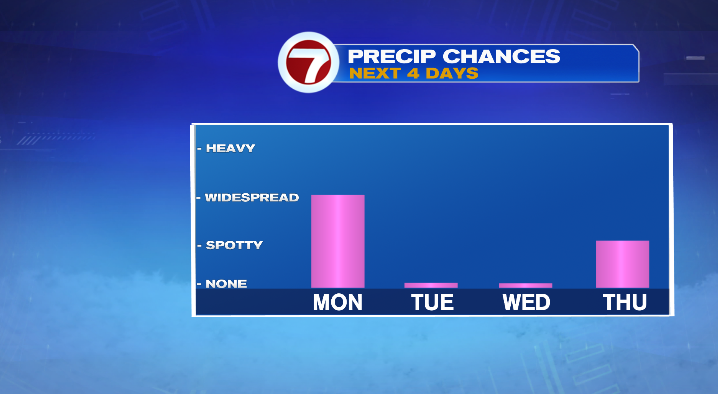
Wednesday temps get a little boost– highs end up in the upper 40s and low 50s, though clouds will increase a little, leaving us partly cloudy for the day.
About the Author
Discover more from USA NEWS
Subscribe to get the latest posts sent to your email.


