
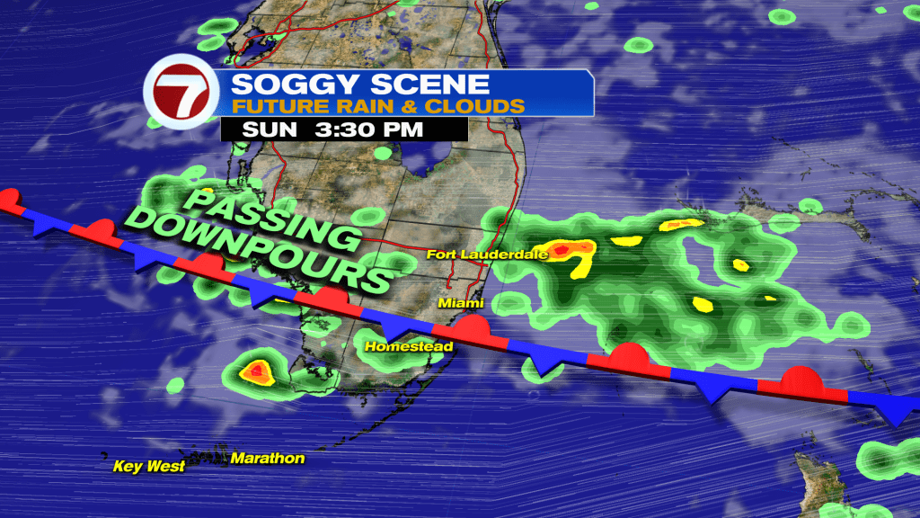
After a stunning Saturday with tons of sunshine, a big reversal is underway to South Florida’s weather this Sunday.
A slow-moving, weakening front is sliding southward into the area, leading to higher rain chances, and those rain chances will stick around all week long.
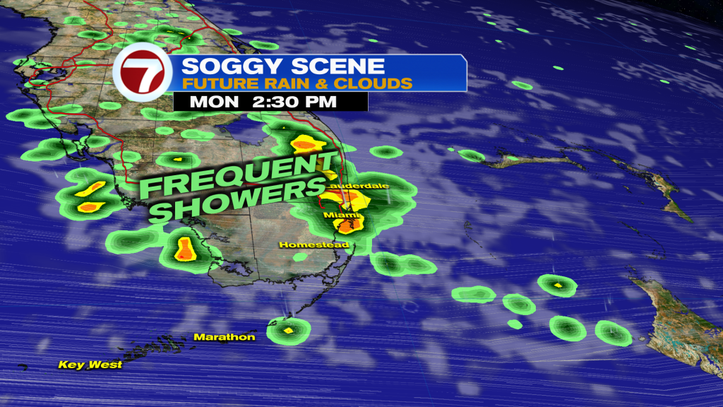
The next two days — Sunday into Monday — are expected to be the most active, however, with scattered to numerous showers. Beyond then, it will be the occasional, passing shower chance.
Both Sunday into Monday will feature the anytime potential for rounds of rain, so it won’t be this nonstop rain all day long but we sure will be dodging downpours at any point during this time frame.
Embedded thunderstorms and isolated areas of flooding are also possible where we see heavy totals develop these next couple days.
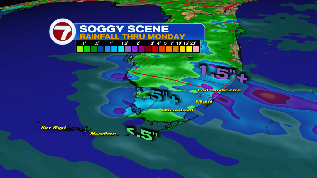
For Sunday, the highest chances for rain will be across Broward down through the Miami area while for tomorrow, everyone has an equal opportunity for rain as that front fizzles across the area and leaves its moisture behind.
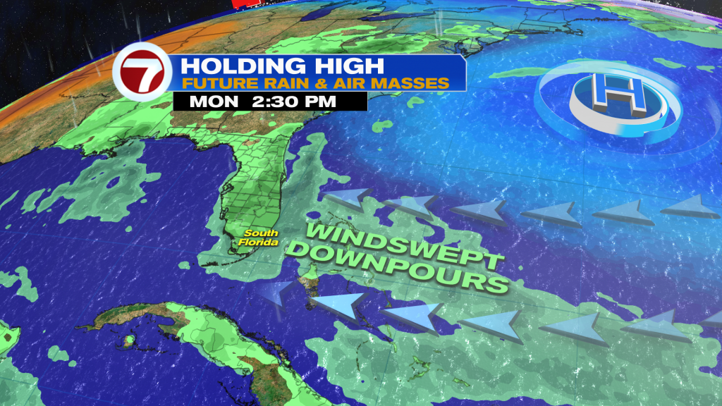
Otherwise, these next couple days will be windy with gusts up to 35 mph. This will make for hazardous beach and boating conditions with a high rip current risk and Small Craft Advisories posted for the Atlantic waters.
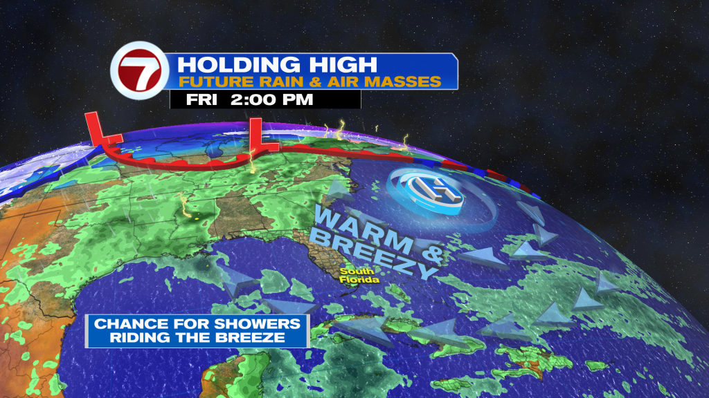
With the strong breeze persistent all week long due to a distant area of high pressure over the Atlantic Ocean, that will keep temps warm and drive in those random showers. We’re still looking at many opportunities for dry weather this week so it won’t be a washout!
About the Author
Discover more from USA NEWS
Subscribe to get the latest posts sent to your email.


