
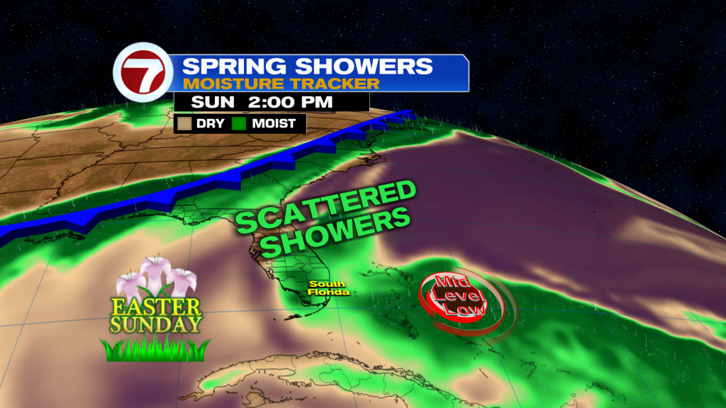
South Florida will see a more active pattern today as moisture increases and a disturbance moves through. Expect scattered showers and isolated storms to develop, especially late this morning into the afternoon.
Rain will likely start near the East coast before shifting inland and toward Southwest Florida later in the day with the sea breeze. While not everyone will see rain, some storms could briefly turn strong with gusty winds or small hail, mainly inland.
Highs today will be in the low to mid 80’s, with the warmest temperatures inland and across Southwest Florida.
By Friday, things settle down a bit. High pressure builds back in, bringing fewer showers and more sunshine. A stray shower is still possible in the afternoon, but most areas will stay dry.
Looking ahead to the weekend, the pattern stays warm with a mix of sun and clouds and only isolated showers around. Rain chances stay on the lower side before increasing again early next week as moisture builds back in.
Have a wonderful day South Florida and make it a safe one!
Vivian Gonzalez
Meteorologist, AMS Certified
WSVN Channel 7
About the Author
Discover more from USA NEWS
Subscribe to get the latest posts sent to your email.


