
We’ve had a pair of wet days, south Florida, so you may be glad to know that rain will “pare back” soon. Here’s a look at the dreary, damp day that was known as Monday (Broward coastal view).
On and off showers were soaking most spots (or should I say moist spots?) across both Broward and Miami-Dade counties. While rain amounts varied, the general range was between one-half an inch and just over 1″ for 24 hour totals. The unsettled weather was apparent across much of Florida.
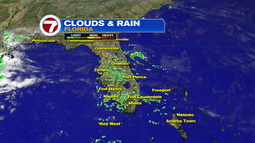
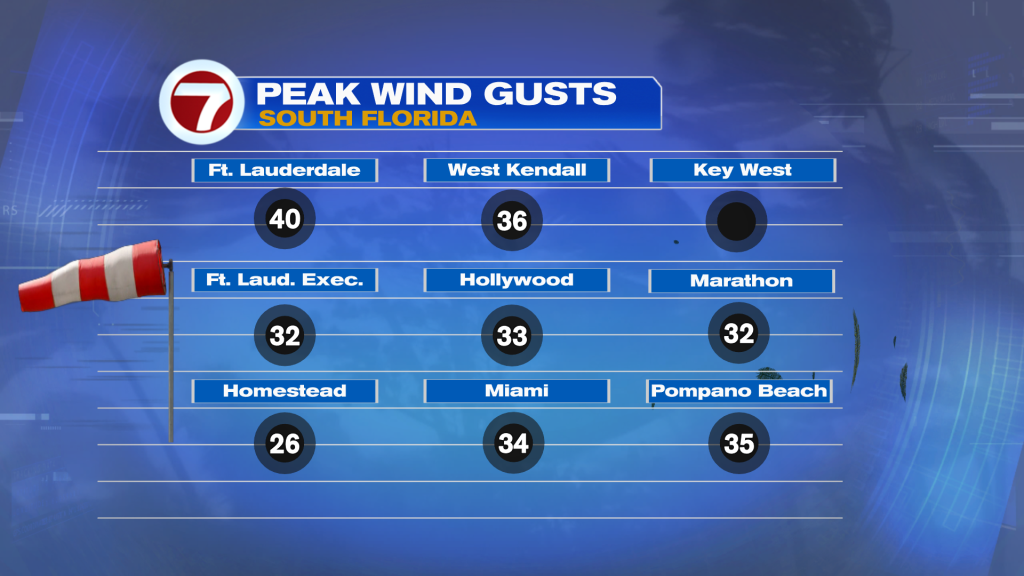
What’s the rainy-reason? We’ve been plugging into plenty of moisture off the Atlantic. It follows a recent passing Front (which has since dissipated to our south). The rain bands are brief since the strong flow off the ocean pushes them quickly westward. In the distant Atlantic is expansive High Pressure. The High is “directing the flow” and creating a gusty breeze.
Broad High Pressure will have persistence this week. That means more breezy weather is in store. A lapse in moisture, though, will lead to fewer showers Tuesday through Wednesday, at least. With some drying we’ll also see the return of the sun (yet sunshine may struggle Tuesday, before better clearing comes Wednesday). Speaking of Wednesday, that’s when we’ll have a bright Full Moon, the first of the spring season! Then, what about the longer range with Easter weekend in sight? Here’s the late week weather map (below).
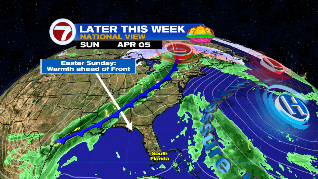
What’s interesting, here, is the combination of factors appearing to converge on the region. As the Atlantic High slips away, notice the large area of green, east of the Bahamas? That’s substantial, potential rainfall in the future. In the other direction, then, is a Cold Front forecast to drop southward (late weekend time frame). We’ll have warming temperatures on Easter Sunday while we monitor the advance of more rain possibly moving in our direction.
About the Author
Discover more from USA NEWS
Subscribe to get the latest posts sent to your email.


