
If you loved Saturday’s weather, then you’ll certainly love Sunday’s too, as well as the next day and the day after that and even beyond then, although temperatures will continue to climb day-by-day before leveling off midweek.
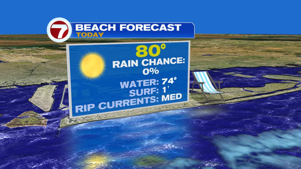
Sunday is going to be a stunner featuring abundant sunshine, hardly a cloud in the sky, dry conditions, low humidity, a lighter breeze and comfortably warm temperatures reaching the low to mid 80s.
Given the lighter breeze, the rip current danger will start to improve but it is at a moderate risk Sunday.
To start the new week, we look at what’s happening out West, which is where a very strong heat dome remains parked. This will spread its warmth eastward, with dozens of record highs possible Sunday from coast-to-coast.

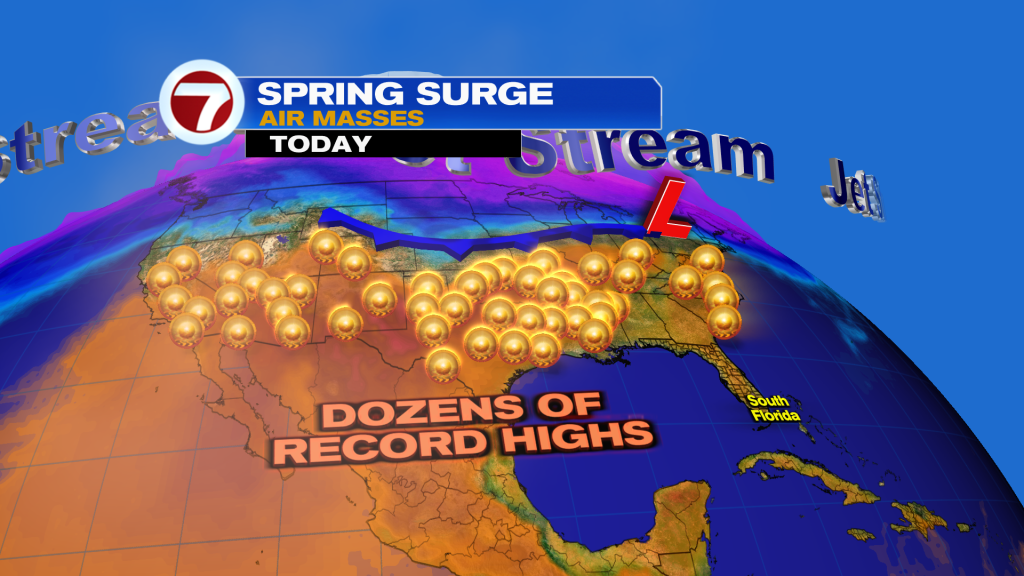
This distant dome will help bring in warmer temperatures to South Florida for our first week of spring with highs several degrees above average while the cold air stays to our north.
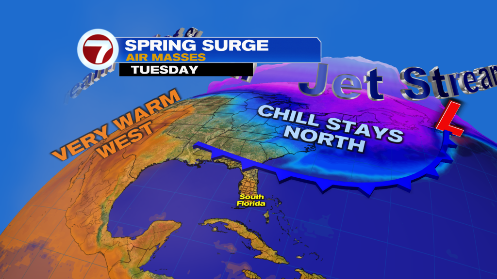
Low temperatures will remain somewhat cool, however, through midweek with widespread lows to mid 60s before warming up due to a building breeze by next weekend.
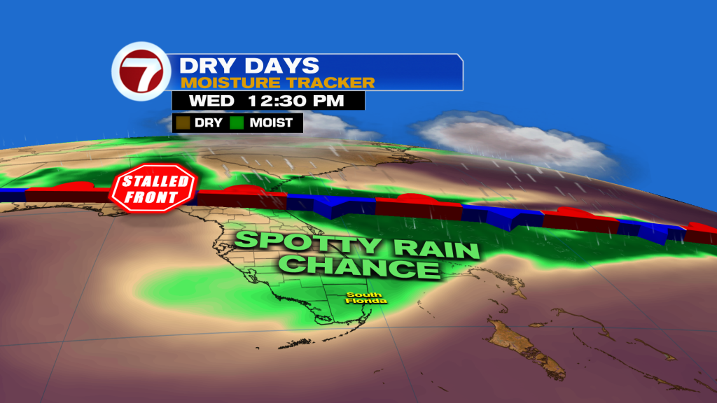
By mid to late week, a front will stall and fizzle to our north. Perhaps that brings in a spotty shower but dry air and quiet conditions will rule this entire week. While we do need the rain, it will be a very nice week ahead!
About the Author
Discover more from USA NEWS
Subscribe to get the latest posts sent to your email.


