
Recent warming peaked on Sunday with record heat in both Miami and Ft. Lauderdale (nearly hitting 90-degrees)! It was a summer preview and something we’ll get used to feeling, in about 3 months.
By Sunday evening, a strong Cold Front crossed the region and now (you might say) “winter is waking up”. Here’s a look at what you’ll be waking up to over the next few days. These are the forecast lows, shown below.

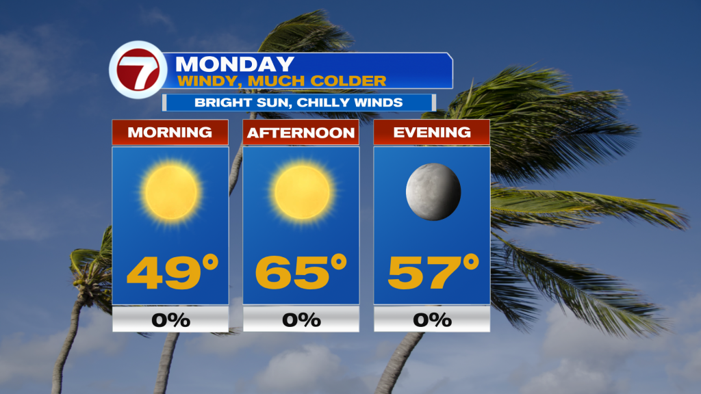
Monday will be a day with bright sunshine, but with much colder air arriving from the north and northwest. Gusty winds will add to the chilly change.
The occasionally strong winds (gusts to 35 mph) will set the stage for a serious Brush Fire threat. Keep in mind, we’re in a deep severe drought and this dry-windy combination could lead to any fires getting out of hand quickly. Use caution and be aware that all of south Florida is under a Brush Fire Warning Monday (9 AM – 7 PM, with the latest alert). The next chance for rain showers won’t be until later in the week, which is also when we feel the return of warmer air. Once High Pressure heads away from Florida, moving into the Atlantic, we’ll get the swing in temperatures. By Thursday and Friday, most of you will put away jackets and sweaters, once again.

Copyright 2025 Sunbeam Television Corp. All rights reserved. This material may not be published, broadcast, rewritten or redistributed.
About the Author
Discover more from USA NEWS
Subscribe to get the latest posts sent to your email.


