
Happy Monday! Buckle up, we’ve got one messy forecast ahead this week.
Tuesday isn’t looking so bad, but after that is when it all goes downhill. First, Tuesday morning will feature some isolated snow showers before drying out with cloudier skies. Morning lows will be chilly, but not frigid, in the 20s with afternoon highs in the upper 30s to near 40 degrees.
Wednesday we’re tracking chances for both rain and snow. It’s a bit too early to say exactly where the rain/snow line will set up, or how it will meander throughout the day.
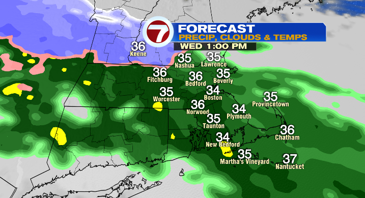
Right now it looks like midday this may start as rain for most of us and transition to snow from the north to the south in the later afternoon and evening.
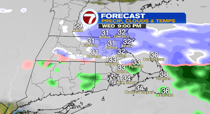
The highest chance for 1-3 inches of snow is in northern Massachusetts, with just some spotty coatings at the very most for areas south. Wednesday starts off in the upper 20s with highs in the low 40s. Thursday will be a day where we get a short break. It’ll be partly sunny with lows in the mid 20s and highs in the upper 30s.
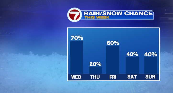
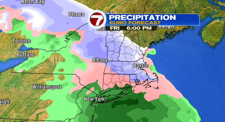
Friday the wintry weather ramps right back up. We’ve got more chances for rain, snow or a mix with lows in the low 20s and highs in the upper 30s.
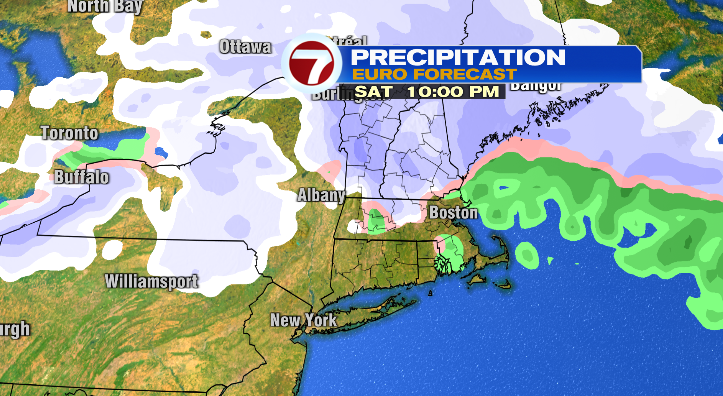
That wintry mess chance continues into Saturday with lows in the upper 20s and highs again in the upper 30s.
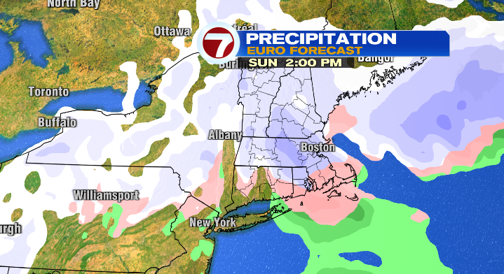
In fact, we’re watching for more snow chances Sunday into Monday too. This is something we’ll be keeping an eye on all week. Stay tuned!
About the Author
Discover more from USA NEWS
Subscribe to get the latest posts sent to your email.


