
While it was a few degrees cooler, we did chalk up another nice April day yesterday with mostly sunny skies.
This morning, thanks to clouds that have moved in, temps aren’t as cool as the past couple of mornings as we start in the low to mid 40s. Those clouds hang toughest today along the coast and that, combined with an onshore breeze, will hold temps down into the upper 40s to low 50s there. MetroWest nears 60 with some sun and west of 495 will head into the low to mid 60s with brighter skies and less of an ocean influence.
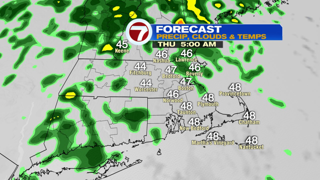
Tonight, clouds fill in for all, and we’ll track showers and drizzle moving in, mainly after midnight.
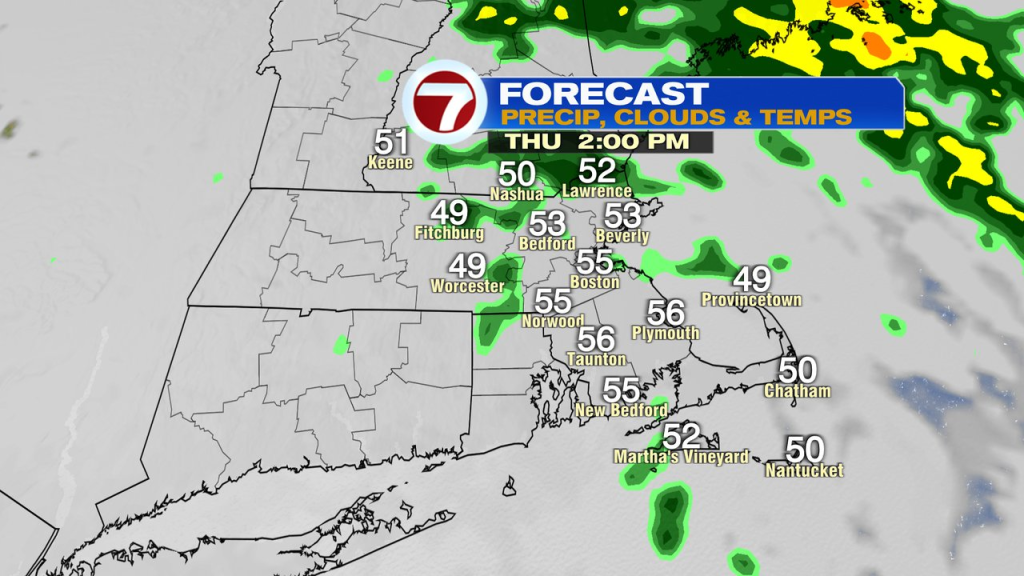
Showers run through here, through tomorrow morning, providing some needed rain across the region. Showers tomorrow afternoon become fewer and farther between by mid to late afternoon. Highs hover in the 50s.
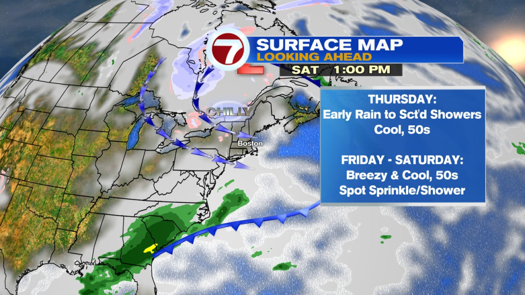
Temps Friday, through the weekend run in the mid to upper 50s. While much of that time frame looks dry, there are a couple things to watch. First, the air aloft Friday into Saturday will be quite chilly. That’ll provide an opportunity for an instability pop-up shower or a sprinkle. The second item to take a look at is a developing wave of low pressure to our south that may scrape our area. that provides a chance for some showers late overnight/early Sunday AM across far Southeast Mass. The bulk of Sunday still looks dry, including for the Walk For Hunger in Boston.
About the Author
Discover more from USA NEWS
Subscribe to get the latest posts sent to your email.


